Brightspeed
"Meeting fiber deployment KPI's"
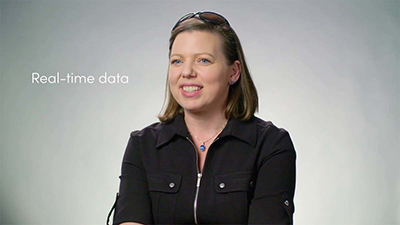
Craig Krammes, Director for IT Engineering Systems
OSPInsight has provided industry-leading software to help its customers easily plan, design, build, analyze, and maintain fiber networks for more than 30 years. Now that OSPInsight has joined IQGeo, customers will enjoy the same benefits while also being able to leverage IQGeo’s Network Manager Telecom software.
For fiber network operators who are looking for a new solution, we invite you to learn about Network Manager Telecom, our game-changing fiber optic network management software that is optimized for telecom and fiber operators and the new challenges you face, from growing complexity to expansion into rural communities. We support private fiber networks and regional fiber networks, for transportation, government, industrial, and corporate networks.
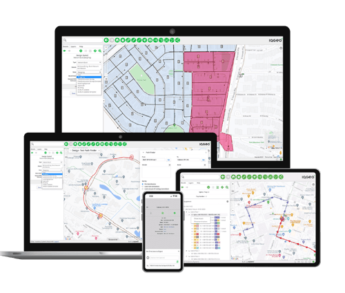
Network Manager Telecom provides the industry’s most agile and open fiber optic network management software, accelerating planning and design while supporting the entire network lifecycle through construction and maintenance operations.
We offer Network Manager Telecom in three editions to meet the needs of any operator, regardless of size or complexity. Visit our editions overview page to find out which edition is right for you. 
If you’re an existing OSPInsight customer, feel free to contact your Customer Success Rep at any time if you have questions. For those who are new to OSPInsight or IQGeo, we’d love to show you how Network Manager Telecom can transform your network operations.
Craig Krammes, Director for IT Engineering Systems

Hideaki Miyamoto, Manager - System Management Group
Ryan Moody, Fibre Planning Optimization

Jim Downing, CIO
Jeffrey Cito, Project Manager Operations - ECMC
Amy Grice, Manager of System Engineering & Operational Technologies
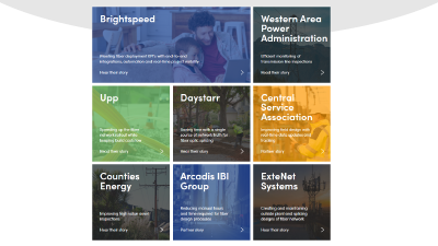
Telecommunications and utility network operators, watch more videos
Insight | Professional | Enterprise
When you choose Network Manager Telecom, you can support your entire network lifecycle, leverage best-in-class mobility, and easily adapt for future expansions and requirements.
Discover which edition is the perfect fit for you!
Find out more
